
Tiätuvuárkká:Finland Lapland adm location map.svg

Algâalgâlâš tiätuvuárkká (SVG-tiätuvuárkká; nobdum tärkkivuotâ 1 049 × 1 344 kovečuággá; tiätuvuárhá stuárudah 415 KiB)
Čuákánkiäsu
| Kuvvim |
Deutsch: Positionskarte von Lappland, Finnland
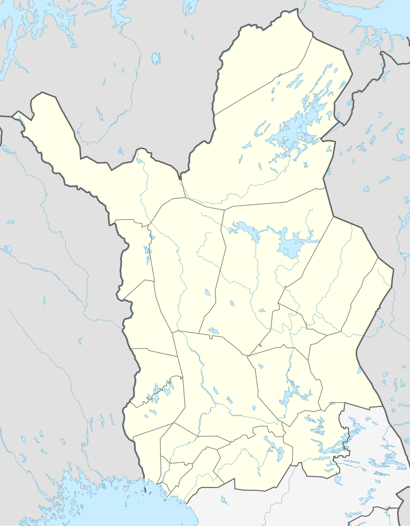
English: Location map of Lapland, Finland
|
||||||||||||
| Peivim | |||||||||||||
| Käldee |
Own work using:
|
||||||||||||
| Rähtee | NordNordWest | ||||||||||||
| SVG kehittely | Tämä vektorigrafiikkatiedosto luotiin käyttäen apuna ohjelmaa Adobe Illustrator
|
||||||||||||

Liiseens
Usage of this file with:

explanatory notes: Legally binding is only the full legalcode. For a free usage I recommend to respect the following licence conditions:
1. Provide my name as given above: NordNordWest,
2. a copy of, or the URI for, the applicable license: https://creativecommons.org/licenses/by-sa/3.0/de/legalcode,
3. the title of the work,
4. in the case of an adaptation, a credit identifying the use of the work in the adaptation.
This license and the rights granted hereunder will terminate automatically upon any breach by you of the terms of this license. Any of the above conditions can be waived if you get permission from the copyright holder. If you have questions or wish differing conditions, please contact me through nnwest or my discussion page ![]() t-online.de
t-online.de
- Pyevti:
- jyehiđ – kopijistiđ, levâttiđ já oovdânpyehtiđ pargo
- remiksađ – vaalmâšt muttum pargoid
- Čuovvovaš iävtuin:
- nommâdem – Tun koolgah adeliđ hiäivulávt nommâalmottâs, liiŋkâ lisensân já almottiđ, láá-uv teekstân tohhum nubástusah. Tun uážuh porgâđ taam puoh tohálâš vuovijgijn, mut ij toin naalijn, et oro et lisensadeleijee lii tuárjumin tuu pargo teikâ suu pargo kevttim.
- jyeve siämmáánáál – Jis mutáh teikkâ vuáđudah taan paargon, puávtáh jyehiđ puátusin šoddâm pargo tuše tain teikkâ taan sullâsâš lisenssáin.

Tiätuvuárhá historjá
Peeivi colkkâlmáin uáináh, maggaar tiätuvuárkká lâi eidu talle.
| Peivimeeri/Tijme | Miniatyyrkove | Ooláádmudoh | Kevttee | Komment | |
|---|---|---|---|---|---|
| táálááš | 17. kuovâmáánu 2017 tme 21.13 | | 1 049 × 1 344 (415 KiB) | NordNordWest | corr |
| 8. kuovâmáánu 2017 tme 15.19 |  | 1 049 × 1 344 (415 KiB) | NordNordWest | corr | |
| 8. kuovâmáánu 2017 tme 12.11 |  | 1 049 × 1 344 (413 KiB) | NordNordWest | == {{int:filedesc}} == {{Information |Description= {{de|1=Positionskarte von Lappland, Finnland}} {{en|1=Location map of Lapland, Finland}} {{Location map series N (conic)|top=70.2|longitude=25.5|latitude1=66|latitude2 = 68.5|bottom = 65.4}} |Source={... |
Tiätuvuárhá kevttim
Čuávuvááh 53 sijđod kevttih taam tiätuvuárhá:
- Aanaar markkân
- Aska
- Hinganmaa
- Jeesiö
- Kaamâs
- Kaamâsmokke
- Kelujärvi
- Kersilö
- Kierinki
- Kiđđâjävri
- Kuáppil
- Kärigâsnjargâ
- Lemmee
- Lismanaapa
- Lismá
- Lokka
- Luosto
- Menišjävri
- Menišjävri (jävri)
- Morgâmjävri
- Moskuvaara
- Njiävđám
- Njižžjävri
- Njuárgám
- Nuvvus
- Orajärvi
- Pavdjävri
- Petkula
- Rajala
- Raudanjoki
- Riipi
- Rivdul
- Rááhájävri
- Sassali
- Sattanen
- Seipäjärvi
- Simmaahjävri
- Siurunmaa
- Smuggâjävri
- Syväjärvi
- Torvinen
- Uimaniemi
- Unari
- Vaalajärvi
- Vuojärvi
- Vuáčču
- Vyelijävri (Avveel)
- Vävli
- Áhujävri
- Ákšujävri
- Äijihsuálui
- Čovčjävri
- Myenster:Location map Laapi eennâmkodde
Tiätuvuárhá kevttim ubâ systeemist
Čuávuvááh eres wikih kevttih taam tiätuvuárhá.
- Kiävttu saajeest de.wikipedia.org
- Inarijärvi
- Korvatunturi
- Haltitunturi
- Saana
- Simojärvi
- Yllästunturi
- Flughafen Kemi-Tornio
- Saamen silta
- Kilpisjärvi (See)
- Pyhätunturi
- Luosto
- Sokosti
- Luirojärvi
- Porttipahta-Stausee
- Ridnitšohkka
- Yli-Kitka
- Kemijärvi (See)
- Kitkajärvi
- Iijärvi (Näätämöjoki)
- Livojärvi
- Mutusjärvi
- Miekojärvi
- Vorlage:Positionskarte Finnland Lappland
- Sauvosaaren urheilupuisto
- Rovaniemen keskuskenttä
- Lappi-areena
- Ranua-Zoo
- Pitsusköngäs
- Kaldoaivin erämaa
- Kiävttu saajeest en.wikipedia.org
Čääiti lase taan tiätuvuárhá vuáhádâhvijđosii kiävtu.