
Tiätuvuárkká:Norway Troms og Finnmark adm location map.svg

Algâalgâlâš tiätuvuárkká (SVG-tiätuvuárkká; nobdum tärkkivuotâ 998 × 549 kovečuággá; tiätuvuárhá stuárudah 361 KiB)
Čuákánkiäsu
| Kuvvim |
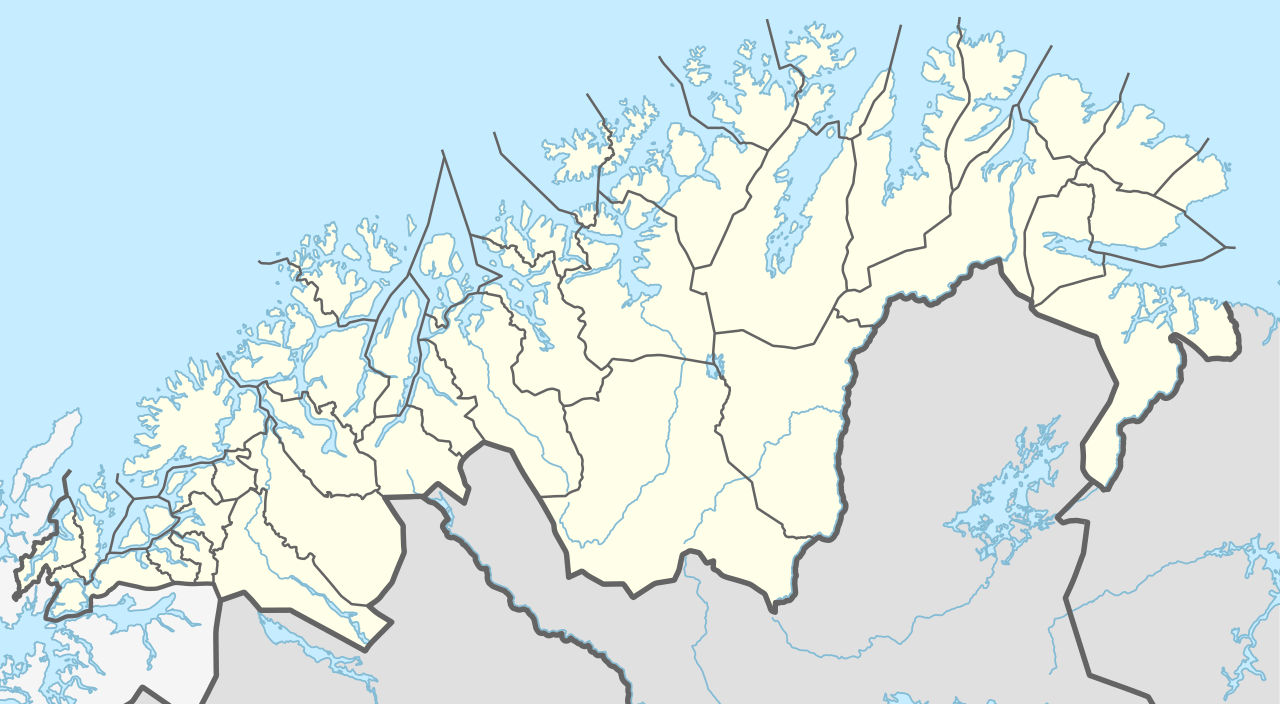
Deutsch: Positionskarte von Troms og Finnmark, Norwegen
English: Location map of Troms og Finnmark, Norway
|
||||||||||||
| Peivim | |||||||||||||
| Käldee | Own work using: United States National Imagery and Mapping Agency data | ||||||||||||
| Rähtee | NordNordWest | ||||||||||||

|
Saksankielisen Wikipedian projekti Kartenwerkstatt on parantanut tätä karttaa. Myös sinä voit ehdottaa jotakin karttaa parannettavaksi.
|
Liiseens
Usage of this file with:

explanatory notes: Legally binding is only the full legalcode. For a free usage I recommend to respect the following licence conditions:
1. Provide my name as given above: NordNordWest,
2. a copy of, or the URI for, the applicable license: https://creativecommons.org/licenses/by-sa/3.0/de/legalcode,
3. the title of the work,
4. in the case of an adaptation, a credit identifying the use of the work in the adaptation.
This license and the rights granted hereunder will terminate automatically upon any breach by you of the terms of this license. Any of the above conditions can be waived if you get permission from the copyright holder. If you have questions or wish differing conditions, please contact me through nnwest or my discussion page ![]() t-online.de
t-online.de
- Pyevti:
- jyehiđ – kopijistiđ, levâttiđ já oovdânpyehtiđ pargo
- remiksađ – vaalmâšt muttum pargoid
- Čuovvovaš iävtuin:
- nommâdem – Tun koolgah adeliđ hiäivulávt nommâalmottâs, liiŋkâ lisensân já almottiđ, láá-uv teekstân tohhum nubástusah. Tun uážuh porgâđ taam puoh tohálâš vuovijgijn, mut ij toin naalijn, et oro et lisensadeleijee lii tuárjumin tuu pargo teikâ suu pargo kevttim.
- jyeve siämmáánáál – Jis mutáh teikkâ vuáđudah taan paargon, puávtáh jyehiđ puátusin šoddâm pargo tuše tain teikkâ taan sullâsâš lisenssáin.

Tiätuvuárhá historjá
Peeivi colkkâlmáin uáináh, maggaar tiätuvuárkká lâi eidu talle.
| Peivimeeri/Tijme | Miniatyyrkove | Ooláádmudoh | Kevttee | Komment | |
|---|---|---|---|---|---|
| táálááš | 9. porgemáánu 2019 tme 18.00 | | 998 × 549 (361 KiB) | NordNordWest | == {{int:filedesc}} == {{Information |Description= {{de|1=Positionskarte von Troms og Finnmark, Norwegen}} {{en|1=Location map of Troms og Finnmark, Norway}} {{Location map series N (conic)|top=71.3|longitude=23.25|latitude1=70.25|latitude2=69.25|bottom=68.15}} |Source={{Own using}} United States National Imagery and Mapping Agency data |Date=2019-08-09 |Author={{U|NordNordWest}} |Permission= |other_versions= }} {{Kartenwerkstatt}} == {{int:license-header}} == {{User:NordNordWest/LicenceMap}... |
Tiätuvuárhá kevttim
Čuávuvâš sijđo kiävttá taam tiätuvuárhá:
Tiätuvuárhá kevttim ubâ systeemist
Čuávuvááh eres wikih kevttih taam tiätuvuárhá.
- Kiävttu saajeest da.wikipedia.org
- Altafjord
- Malangen
- Porsangerfjorden
- Varangerfjorden
- Kvaløya (Finnmark)
- Balsfjorden
- Gisundbroen
- Lyngenfjorden
- Tanafjorden
- Ersfjorden (Tromsø)
- Kaldfjorden (Tromsø)
- Kistefjellet
- Loppa (ø)
- Seiland
- Lakselven
- Laksefjorden
- Vaggatem
- Øksfjordjøkelen
- Øksfjord
- Henrikkafossen
- Hamnvik
- Vågsfjorden (Troms)
- Evenskjer
- Dyrøybroen
- Sjøvegan
- Sagfjorden (Salangen)
- Straumsfjorden i Troms
- Sommarøya
- Rebbenesøya
- Jiehkkevárri
- Storsteinnes
- Piggtind
- Rostafjellet
- Vassdalsfjellet
- Lille Russetinden
- Finnsnes
- Silsand
- Setermoen
- Brøstadbotn
- Harstad (by)
- Borkenes
- Kvæfjorden
- Gullesfjorden
- Burfjord
- Hansnes
- Torsvåg fyr
- Olderdalen (Kåfjord)
- Lyngseidet
- Moen
- Storslett
Čääiti lase taan tiätuvuárhá vuáhádâhvijđosii kiävtu.